History & Heritage
For two thousand years, caravans carried silk, ideas, and religions across deserts and mountain passes. The route still exists — and following it remains one of the great journeys on earth.
The Silk Road was never a single road, and technically it wasn’t named for centuries after it flourished — the term was coined in the 1870s by the German geographer Ferdinand von Richthofen, long after the camel caravans had faded. What actually existed was something grander and messier: a shifting web of trade routes stretching thousands of kilometers from the ancient Chinese capital of Chang’an (modern Xi’an) through the oasis towns of the Gobi and Taklamakan deserts, over the Pamir mountains, and onward through Central Asia toward Persia, India, and eventually the Mediterranean. Along these threads moved silk, of course — China guarded the secret of sericulture so jealously that exporting silkworms was punishable by death — but also paper, gunpowder, spices, glass, horses, Buddhism, Islam, astronomy, and plague. It was history’s first great information network, built on camel-back.
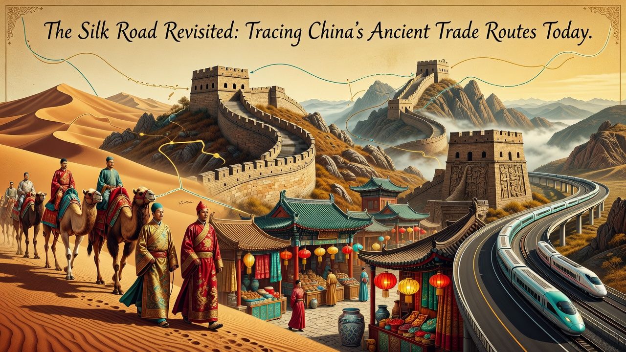
What makes the Silk Road extraordinary for the modern traveler is that so much of it survives — not as a museum reconstruction but as living geography. The Chinese stretch alone, formally recognized on the UNESCO World Heritage List as part of the “Routes Network of Chang’an-Tianshan Corridor,” runs through walled garrison towns, cave temples painted a millennium and a half ago, sections of the Great Wall built to protect the caravans, and desert landscapes essentially unchanged since the Tang dynasty. You can stand today in gates that Marco Polo’s contemporaries passed through and watch the same dunes swallow the same horizon. This guide traces that Chinese corridor — its history, its greatest surviving sites, and the practicalities of following the world’s most storied trade route in the twenty-first century.
A brief history of the world’s longest marketplace
The route’s origin story has a name and a date. In 138 BCE, the Han emperor Wudi dispatched an envoy named Zhang Qian westward to seek military allies against the nomadic Xiongnu. Zhang was captured, held for a decade, escaped, and eventually returned with something more valuable than an alliance: detailed knowledge of the kingdoms of Central Asia and their appetite for Chinese goods — especially their magnificent “heavenly horses,” which the Han army coveted. Within decades, official trade missions were moving west, and the pattern that would endure for centuries took shape: silk flowing out of China, horses, jade, glass, and silver flowing in, with every oasis kingdom along the way growing rich on the transit trade. Few merchants ever traveled the whole route; goods moved in relays, changing hands at each oasis, which is precisely why the towns between the empires became so wealthy and so cosmopolitan.
The road’s golden age arrived under the Tang dynasty (618–907 CE), when Chang’an swelled into arguably the largest city on earth — a metropolis of perhaps a million people where Sogdian merchants, Persian musicians, Indian monks, and Turkic soldiers mingled in the markets. It was along these routes that Buddhism traveled from India into China, transforming both the religion and the civilization that received it, and leaving behind the painted cave temples that remain the route’s greatest treasures. The overland road declined as maritime trade rose and empires fragmented, and by the fifteenth century the caravan cities were fading into the sand. But decline preserved them: because the desert towns were bypassed rather than rebuilt, an astonishing amount survived for archaeologists — and travelers — to rediscover. Institutions like the British Museum and the Metropolitan Museum of Art hold major Silk Road collections that make superb pre-trip study.
The route today: anchor cities of the Chinese corridor
The classic Chinese Silk Road itinerary runs northwest from Xi’an along the Hexi Corridor — the narrow strip of habitable land between mountains and desert that funneled all traffic — and into the Xinjiang region, where the route split to skirt the deadly Taklamakan Desert north or south. Each anchor city preserves a different chapter of the story:
| Stop | What it was | What to see today |
|---|---|---|
| Xi’an | Chang’an — the eastern terminus and Tang capital | City walls, the Terracotta Army, Big Wild Goose Pagoda, the Muslim Quarter’s food streets |
| Lanzhou & the Hexi Corridor | The funnel through which all caravans passed | Yellow River views; Bingling Temple grottoes; hand-pulled noodle culture |
| Zhangye | Garrison and trade town | Giant Reclining Buddha temple; the rainbow-striped Danxia landforms nearby |
| Jiayuguan | The Ming Great Wall’s western end — the empire’s symbolic exit gate | The dramatic desert fortress, restored walls against snow peaks |
| Dunhuang | The great oasis where routes split around the Taklamakan | The Mogao Caves; Crescent Lake and the singing sand dunes |
| Turpan | Oasis kingdom in one of earth’s hottest depressions | Ruined cities of Jiaohe & Gaochang; ancient karez irrigation channels; vineyards |
| Kashgar | The last great market before the Pamir passes | The Sunday livestock bazaar, old-town lanes, Central Asian atmosphere |
Two thousand years of history compress into this line of cities, and the transitions between them are part of the experience: the landscape dries and empties as you go west, Chinese architecture gives way to Central Asian forms, wheat gives way to lamb and flatbread, and by Kashgar you are closer to Baghdad than to Beijing in cultural texture — a reminder that the Silk Road was always a gradient, not a border. Modern China has made the traverse astonishingly easy by historical standards: high-speed rail now runs the entire Hexi Corridor, covering in hours what killed caravans in weeks.
Dunhuang and the Mogao Caves: the route’s crown jewel
If the Silk Road has a single greatest treasure, it is the Mogao Caves outside Dunhuang — nearly five hundred cave temples cut into a desert cliff and decorated over a thousand years, from the fourth century to the fourteenth, with tens of thousands of square meters of Buddhist wall paintings and thousands of sculptures. Merchants and monks commissioned the caves as acts of devotion before the desert crossing or in gratitude after surviving it, and the result is an unbroken visual chronicle of a millennium: styles shift from Indian and Central Asian toward fully Chinese as you move through the centuries, silk-robed donors line the walls beside celestial musicians, and the famous “library cave,” sealed around the eleventh century and rediscovered in 1900, yielded tens of thousands of manuscripts — including the Diamond Sutra of 868 CE, the world’s earliest dated printed book, now in the British Library.
Visiting today is a carefully managed experience, and rightly so — the paintings are heartbreakingly fragile, and conservation is a genuine international effort in which the Getty Conservation Institute has long partnered with the Dunhuang Academy. Visits begin with excellent dome-screen films, tickets are limited and timed, and guides unlock a rotating selection of caves; book ahead in high season, and consider the digital exhibition center’s reproductions, which let you study details no flashlight tour could show. Pair Mogao with Dunhuang’s other icon — the improbable Crescent Lake oasis cupped in colossal dunes at Mingsha Shan, where you can ride a camel at sunset and hear the sand “sing” underfoot — and you have, in one small desert town, the entire Silk Road experience in miniature: faith, commerce, art, and the ever-present sand.
Planning the journey: practicalities
A Silk Road trip rewards more planning than a city break, but far less than its exotic reputation suggests. The core decisions are season, duration, and transport. Spring (April–May) and autumn (September–October) are ideal — summer is brutally hot in the Turpan depression and winter bitterly cold throughout, while autumn adds golden poplars to the oases. A satisfying trip needs time: Xi’an to Dunhuang can be done meaningfully in a week, while continuing through Turpan to Kashgar deserves two or more. High-speed and overnight trains connect the corridor efficiently and are an experience in themselves; flights bridge the longer Xinjiang distances. Note that travel in Xinjiang involves more security checkpoints and ID checks than elsewhere in China, and conditions and access can change — check your government’s current travel advice (for Americans, travel.state.gov) and recent traveler reports when planning.
| Trip length | Realistic scope | Best for |
|---|---|---|
| 5–7 days | Xi’an → Zhangye → Jiayuguan → Dunhuang by rail | First-timers wanting the essential corridor |
| 10–14 days | Add Turpan & Urumqi (regional museum’s Silk Road mummies) | Deeper history and desert landscapes |
| 2–3 weeks | Continue to Kashgar; optionally the Karakoram Highway viewpoints | The full China corridor, market to mountain |
Practical details worth knowing: distances are vast, so resist over-packing the itinerary — the desert emptiness between sites is part of the point; carry cash-alternatives set up in advance, since China runs on mobile payment apps that now accept foreign cards; hotels and English signage thin out west of Dunhuang, which independent travelers should treat as adventure rather than obstacle (and others can solve with a guide or small-group tour); and altitude is a non-issue on the main route, unlike the Pamir extensions. Food alone justifies the trip — the corridor eats magnificently, from Lanzhou’s beef noodles to Xinjiang’s cumin-crusted lamb skewers, hand-pulled laghman noodles, and bazaar flatbread straight from tandoor ovens.
Why the road still matters
It’s tempting to file the Silk Road under romantic history, but its real lesson is startlingly current: it is the original proof that connectivity transforms civilizations. Paper-making traveled this road west and eventually enabled Europe’s print revolution; Buddhism traveled east and reshaped Asia; musical instruments, crops, medical knowledge, and artistic styles hybridized at every oasis. The route also carried catastrophe — the Black Death likely moved along its arteries — a reminder that exchange has always cut both ways. Modern China invokes the road constantly in its “Belt and Road” infrastructure diplomacy, and whatever one makes of the politics, the historical instinct is sound: this corridor has been the hinge between East and West for two millennia, and standing in Jiayuguan’s gate or Kashgar’s bazaar, you feel that hinge still turning.
For the traveler, though, the deepest rewards are less geopolitical than sensory and human: the shock of green oasis after hours of grey gobi; cave paintings whose pigments still glow after fifteen centuries; the muezzin’s call over a market that has convened weekly for a thousand years; noodles pulled by hand the way they were for Tang caravan drivers. Few journeys on earth let you travel through so much time while moving through space, and none does it with the Silk Road’s particular alchemy of desert, faith, and commerce. The caravans are gone, but the road — as geography, as heritage, as invitation — is very much still open. Go in autumn, take the train, linger in Dunhuang, and let the world’s oldest highway show you how the world became connected in the first place.